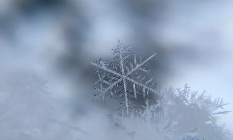
Saturday afternoon ET, Environment Canada issued a Snowfall Warning for Calgary, confirming heavy snow is expected to begin Sunday morning. Unconfirmed as of Saturday afternoon ET is the exact distribution of snowfall and which neighborhoods and highways will see the heaviest accumulations; Sunday morning observations and Environment Canada’s updates will clarify totals and wind impacts.
Environment Canada confirmation and the immediate forecast for Calgary
Confirmed: Environment Canada has issued a Snowfall Warning for Calgary that calls for significant snowfall beginning Sunday morning and intensifying through the afternoon and evening. The warning identifies heavy, steady snowfall beginning near noon for parts of the city, followed by additional accumulation overnight into early Monday. Temperatures are confirmed to fall from above seasonal values on Saturday to around –3 C by Sunday afternoon, with wind chill values near –10 C expected during the storm.
Snowfall Warning specifics: expected totals and wind gusts remain variable
Still, unconfirmed as of Saturday afternoon ET are the precise snowfall totals at any given Calgary address. The broader forecast for parts of Alberta included possible accumulations ranging from 5 to 20 centimetres; the Calgary-specific warning calls for a combined 10 to 20 centimetres through Sunday and Sunday night, with some forecasts separating that into up to 10 centimetres during the day and another 5 to 10 centimetres overnight. Wind impacts are also unconfirmed: wind warnings are in place across southern Alberta with gusts described as reaching 80–90+ km/h in some areas and the potential for gusts to 100 km/h in southern zones.
Highways 1, 2, 3 and 22 near and south of Calgary are flagged for worst conditions
Confirmed: Highways 1, 2, 3 and 22 near and south of Calgary are forecast to experience the worst travel conditions as the frontal squall moves through. Initial forecast language identifies the frontal squall as the focus for localized whiteout conditions and the heaviest snowfall, and it notes that the location of the heaviest snow will vary along the front. That placement is unconfirmed as of Saturday afternoon ET and is labeled low- to moderate-confidence; small shifts in the boundary will produce big swings in accumulation over short distances.
Yet, observable triggers will resolve these unknowns: radar and surface observations Sunday morning ET will show where the frontal squall positions itself, and Environment Canada’s subsequent bulletins will update snow totals and wind warnings for specific corridors. Near-term indicators to watch include the timing of the changeover from rain or mixed precipitation to heavy snow during Sunday morning and the evolution of sustained winds—and those measurements will determine which stretches of the listed highways experience whiteouts or drifting that impede travel.
That said, confirmed effects already flagged for Calgary include reduced visibility and difficult road, sidewalk and pathway conditions during the heaviest snow. Drivers are urged to prepare for Sunday travel risks tied to both snowfall and high winds; the storm is expected to taper off early Monday morning, per the current warning timeline.
Closing: The next confirmed update expected to move the story is Sunday morning ET, when on-the-ground observations and Environment Canada’s scheduled updates will clarify snowfall placement and wind impacts. If snowfall accumulations are confirmed at the high end of the current range (near 20 centimetres), sustained travel disruptions on Highways 1, 2, 3 and 22 are expected through Sunday evening.