Updated Monday at 9: 14 a. m. ET, Met Éireann says Cork will stay mild and mostly cloudy before late-evening downpours usher in a wetter, breezier start to the week. For readers tracking cork weather, the agency signals a sharper turn on Thursday with heavy rain and cooler air, followed by brighter spells Friday and longer sunshine on Saturday.
Met Éireann Outlook: Wet and Breezy Early Week
Met Éireann’s morning guidance highlights a split Sunday: many areas remain dry with some sunshine in the east and midlands, while counties along the west coast see rain and the risk of spot flooding. Daytime highs range from 8 to 12°C as the recent bright spell gives way to a more unsettled pattern across Ireland.
Cloud holds over western counties into the night, while the east alternates between cloud and clear spells. Overnight lows sit between 2 and 7°C, staying milder in the west under thicker cloud. Monday keeps a mix of cloud, brief sunny breaks, and patches of rain or drizzle, with highs of 7 to 12°C before conditions trend wetter and breezier through midweek.
Cork Weather: Mild Today, Downpours Late, Sunshine By Friday
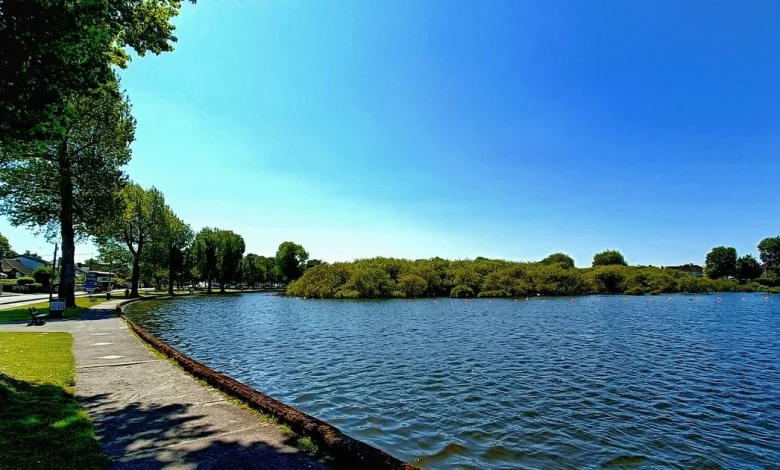
In Cork city and county, it’s a grey but largely dry stretch during the afternoon, with temperatures hovering near 10°C and peaking around 11°C later in the day. Isolated showers may crop up in spots, yet the main change arrives late this evening as downpours set in and persist into the early hours, setting the tone for a mixed start to the week. For cork weather watchers planning commutes or school runs, that overnight window is the most likely period for steadier rain.
Tuesday stays predominantly cloudy with only limited bright spells and on-and-off patches of drizzle, while more persistent rain edges into western areas later. A windy Wednesday begins mostly dry with sunshine before showers build through the day, with highs near 9 to 11°C. The next big pivot is Thursday: Met Éireann flags heavy downpours, widespread showers or longer spells of rain, and a notable temperature drop toward 7 to 10°C. Rain is expected to clear by Friday, allowing a mix of cloud and sunshine, before Saturday brings longer stretches of spring sunshine.
Munster Forecast: Rain Risk West, Spot Flooding Possible
Across Munster, many places stay dry for long periods Sunday, with brighter or sunny spells most likely in the eastern half of the province. Farther west and southwest, persistent rain develops with a chance of spot flooding; daytime highs run 8 to 12 degrees as mostly moderate southerly winds freshen near Atlantic coasts. Travelers moving between the brighter east and wetter west should be prepared for rapidly changing conditions.
Overnight, the western half of Munster turns cloudy with outbreaks of rain and drizzle, while the eastern half remains mostly dry with a blend of cloud and clear patches. Some mist and fog develop as winds ease to light and variable, with lows of 3 to 7 degrees. The following day brings a familiar pattern: a mix of cloud with occasional bright spells and scattered patches of rain or drizzle, and highs of 7 to 11 degrees as the unsettled theme continues province-wide.
The next major change in Cork is forecast for Thursday, when heavy rain and a cooler airmass sweep through; clearer, brighter conditions are then expected Friday with longer sunny spells by Saturday.